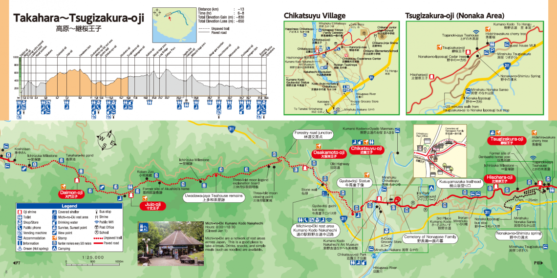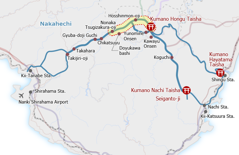
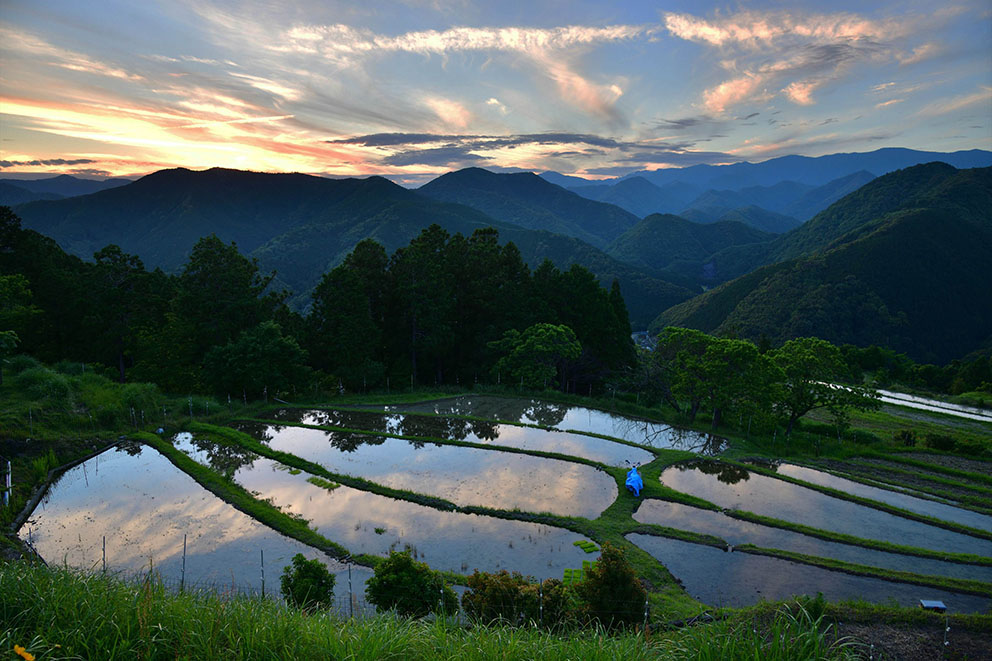
Overview
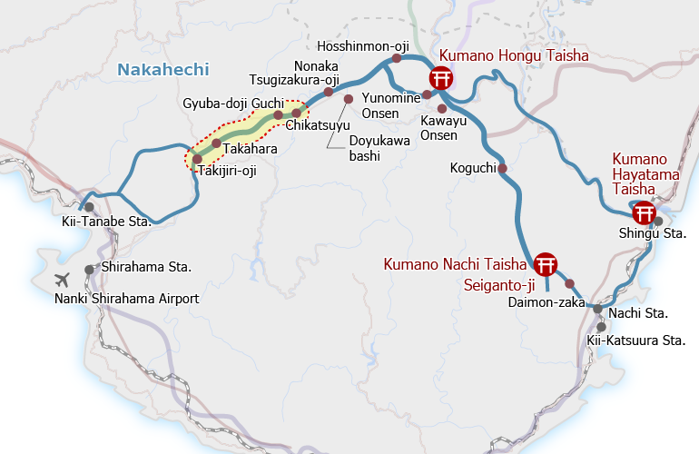
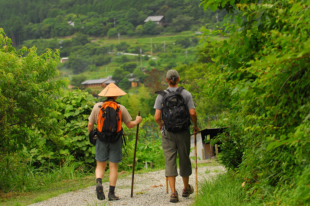
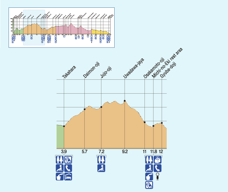
The trail from Takahara continues to climb into the mountains from the east end of the tiny settlement. About 1.5 hours into the walk one reaches the Jujo-oji clearing, a popular spot for picnic lunches.
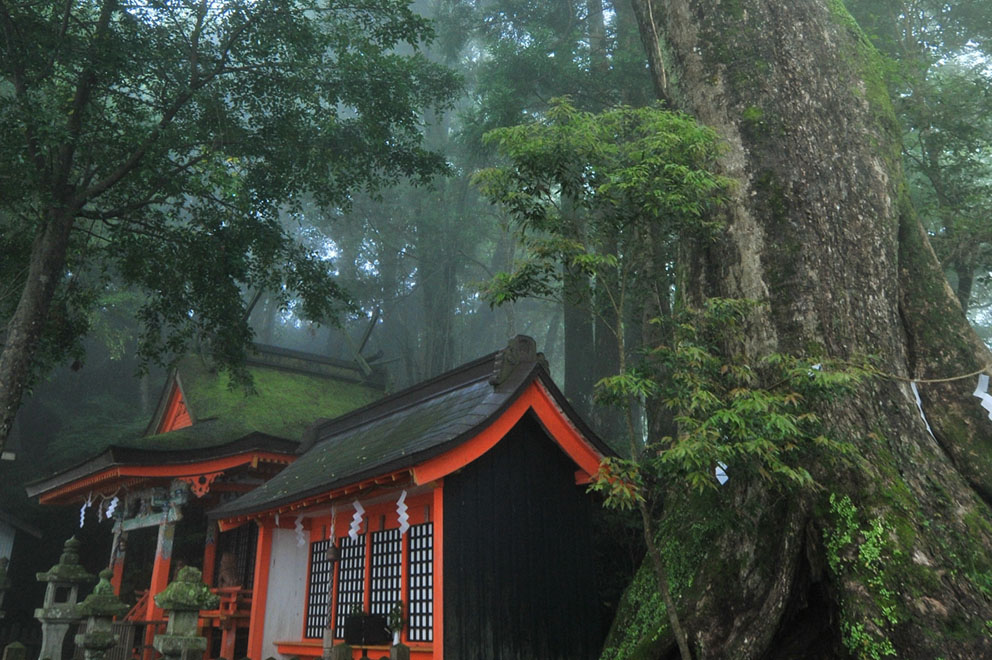
The highest part of this trail is the remains of the Uwada-jaya Teahouse (~690 meters above sea level).
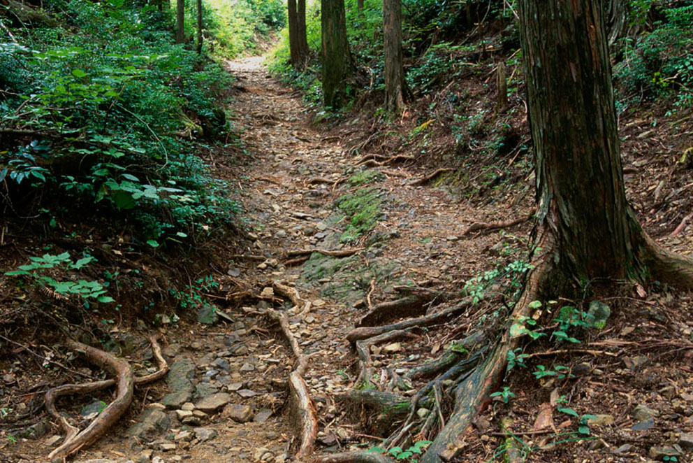
The trail then descends quickly past the Three-Fold Moon Viewing area to the creek by Osakamoto-oji.
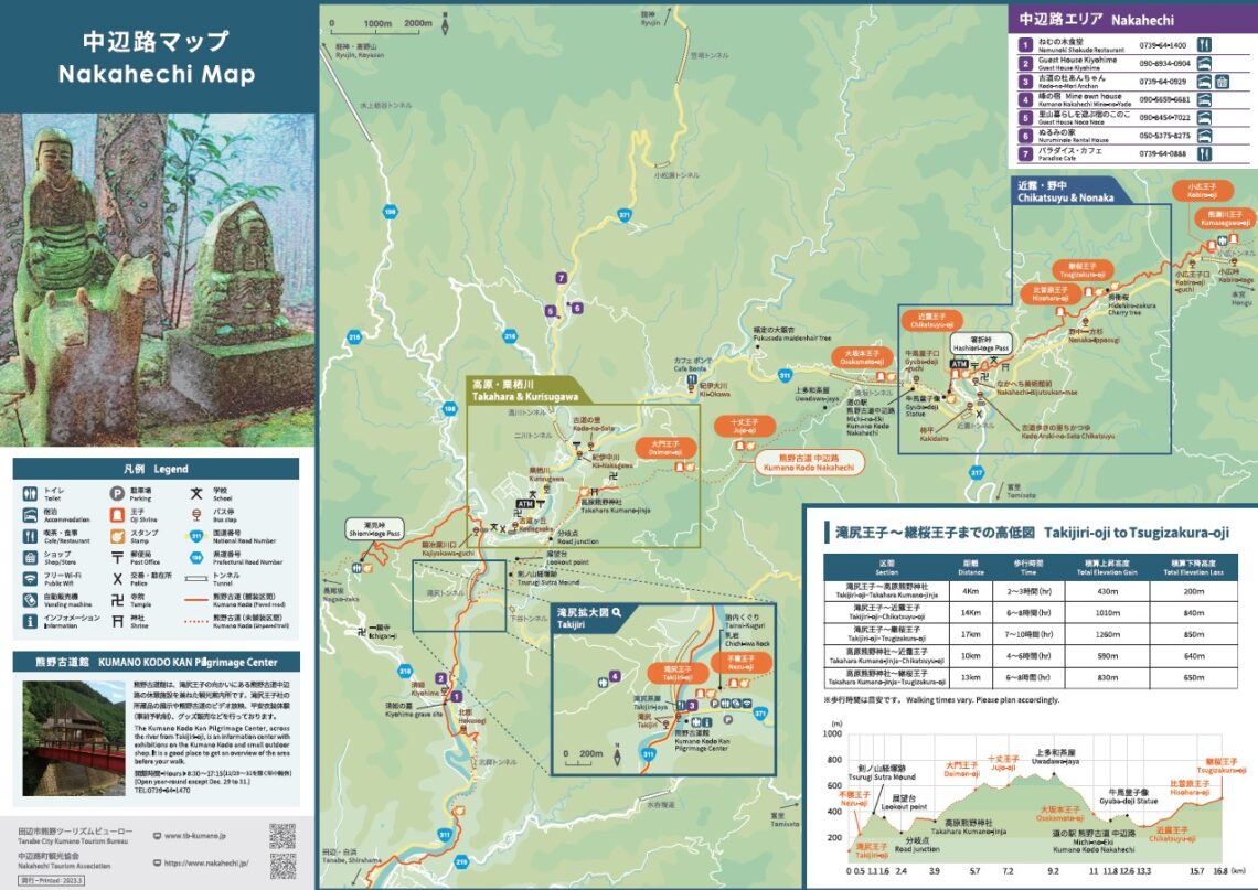
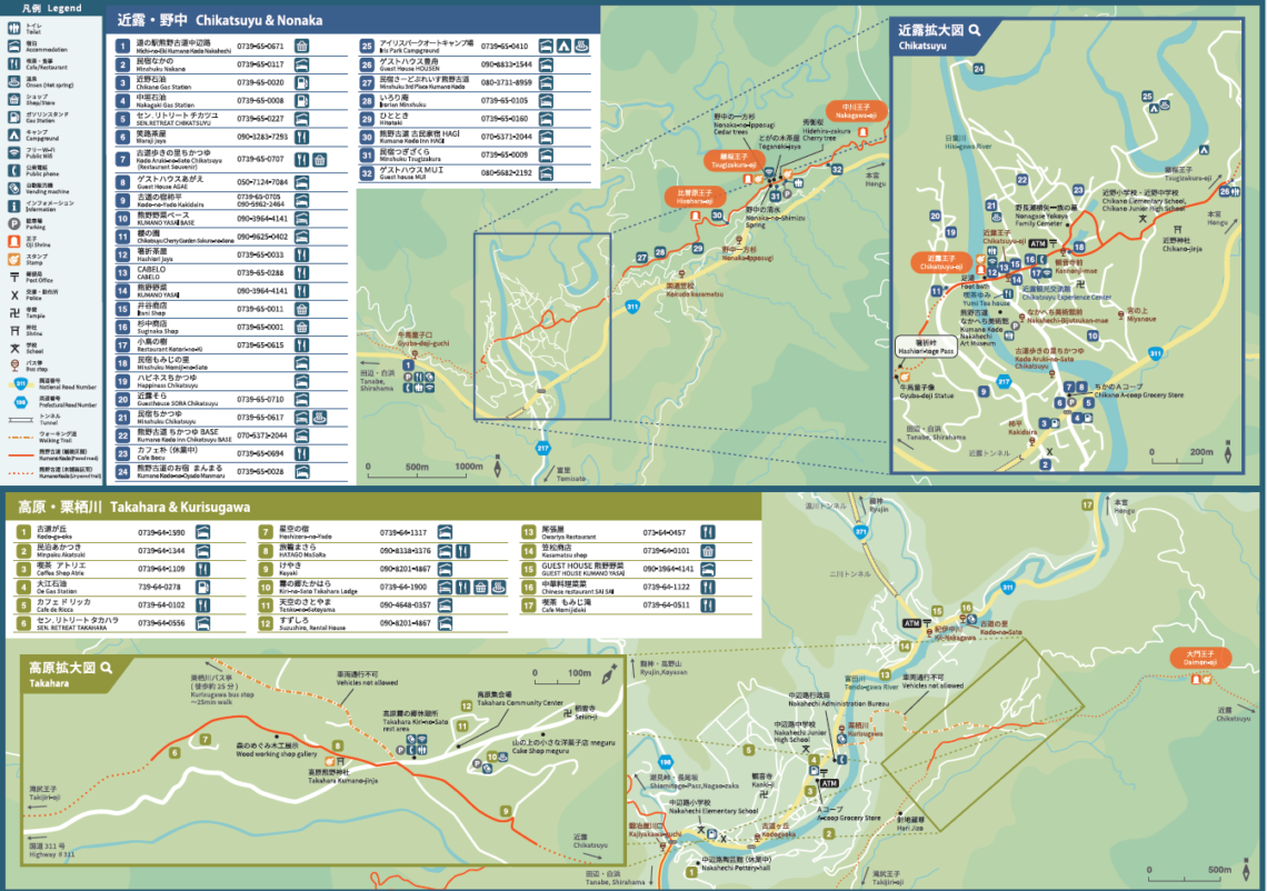
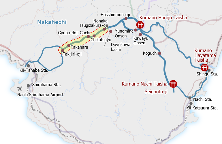
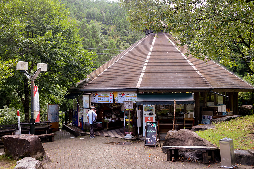
The pilgrimage route runs close to Highway No. 311, which you can cross to reach the Kumano Kodo Nakahechi Michi-no-Eki rest stop. The Gyuba-doji-guchi bus stop is located here.

Course Data
| Distance | 8 km (~5 mi) |
| Time | 3~4 hrs ※Walking times vary. Please plan accordingly. |
| Difficulty rating | 3 What is difficulty rating? |
| Total Elevation Gain | ~570 m (~1870 ft) |
| Total Elevation Loss | ~200 m (~950 ft) |
| Access | Bus Timetable Buses run from Kii-Tanabe and Shirahama to Kurisugawa and Gyubadoji-guchi. Bus Timetable #1 (Eastbound), Bus Timetable #2 (Westbound). |
| Nearest bus stop | Kurisugawa (Start, 30-minute walk from Takahara), Gyuba-doji-guchi (Finish) |